How to start hiking in Northwest Arkansas.
Back 40 · Bella Vista
Bella Vista Museum to It’ll Bluff Out South & Dalton Dr.
Challenging
The route
This route is part of the Back 40 trail system. Open the full turn-by-turn map, elevation profile, and offline download in Komoot.


Where to park
Bella Vista Museum
Address
Bella Vista Historical Museum, 1885 Bella Vista Way, Bella Vista, AR 72714Google code is FQ64+J9P Bella Vista, AR
Open trailhead in Google MapsParking Area
medium, paved
Amenities
full restrooms available inside the museum when it's open.
What to expect
Challenging routes like this one include natural-surface trails that are often only 1 foot wide (or narrower) and have steep slopes with significant climbs and descents (15% grade or more). Frequent obstacles may include rocks and roots 15 inches high or taller. Hikers must have excellent stability.
More routes from this trailhead
9 other routes start from Bella Vista Museum.

Bella Vista Museum to Lake Rayburn Waterfall
0.6 mi · 50 ft gain · 83 ft/mi · Loop · Bella Vista
Depending on the amount of recent rain, the waterfall may be too deep to safely cross without getting your shoes very wet.
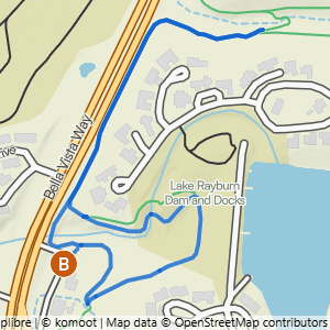
Bella Vista Museum to It'll Bluff Out Shortcut & Lake Rayburn Waterfall
1.17 mi · 100 ft gain · 85 ft/mi · Lollipop · Bella Vista

Bella Vista Museum to It'll Bluff Out & Lake Rayburn Waterfall
2.01 mi · 150 ft gain · 75 ft/mi · Lollipop · Bella Vista

Bella Vista Museum to Pinion Creek Falls
3.22 mi · 175 ft gain · 54 ft/mi · Lollipop · Bella Vista

Bella Vista Museum to Buckingham
3.77 mi · 300 ft gain · 80 ft/mi · Out & Back · Bella Vista
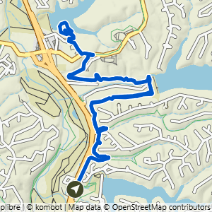
Bella Vista Museum to Cooper Chapel
5.99 mi · 425 ft gain · 71 ft/mi · Lollipop · Bella Vista