How to start hiking in Northwest Arkansas.
Coler Preserve · Bentonville
Coler South to Lorax West
Easy
The route
This route includes about .5 miles on the paved Applegate Trail.
This route is part of the Coler Preserve trail system. Open the full turn-by-turn map, elevation profile, and offline download in Komoot.

Where to park
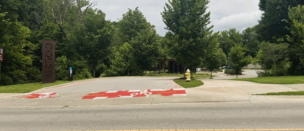
Coler South
Address
Coler Mountain Bike Preserve South Gateway, 304 Applegate Trail, Bentonville, AR 72712Google code is 9QG7+JC6 Bentonville, AR
Open trailhead in Google MapsParking Area
large, paved
Amenities
full restrooms
What to expect
Easy routes like this one are on natural-surface dirt or gravel trails that are about 3 feet wide or wider. The trail has gentle slopes with an average grade/incline of 5% or less and a generally stable surface.
More routes from this trailhead
12 other routes start from Coler South.
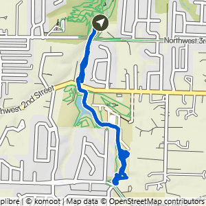
Coler South to Lorax East
2.26 mi · 100 ft gain · 44 ft/mi · Lollipop · Bentonville
This route includes about 1 mile on the paved Applegate Trail.

Coler South to Coler North
2.99 mi · 75 ft gain · 25 ft/mi · Out & Back · Bentonville
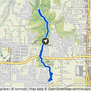
Coler South to Lorax East & Good Vibrations
3.72 mi · 150 ft gain · 40 ft/mi · Lollipop · Bentonville
This route includes about 2.2 miles on the paved Applegate Trail.

Coler South to Here's Johnny & Copperhead
3.84 mi · 225 ft gain · 59 ft/mi · Loop · Bentonville

Coler South to Esther's Loop
3.93 mi · 225 ft gain · 57 ft/mi · Loop · Bentonville
This route includes about .3 miles on paved trail.

Coler South to Lorax West & East
3.97 mi · 175 ft gain · 44 ft/mi · Lollipop · Bentonville
This route includes about 1 mile on the paved Applegate Trail.