How to start hiking in Northwest Arkansas.
Scotsdale Trailhead
Parking for Little Sugar · Bella Vista, AR
Scotsdale Trailhead is a large paved lot on the Little Sugar trails in Bella Vista, with no restrooms. Routes from here run from about 2.2 to 9.4 miles and are rated moderate or challenging.
Where to Park

Address
Little Sugar Trails Trailhead - Scotsdale Dr, Cullen Hills Dr, Bella Vista, AR 72715 (Or type FPQ2+4W Bella Vista, AR directly into Google Maps.)
Get Directions to the TrailheadParking Area
large, paved
Amenities
no restroom facilities

Scotsdale to the Bridge
2.19 mi · 125 ft gain · 57 ft/mi · Out & Back

Scotsdale to Technical Difficulty
3.38 mi · 175 ft gain · 52 ft/mi · Lollipop

Scotsdale to Scalloway
3.72 mi · 350 ft gain · 94 ft/mi · Out & Back

Scotsdale to Forest Hills
4.44 mi · 325 ft gain · 73 ft/mi · Out & Back

Scotsdale to Technical Difficulty+
4.56 mi · 250 ft gain · 55 ft/mi · Lollipop

Scotsdale to Sherlock
5.37 mi · 500 ft gain · 93 ft/mi · Out & Back
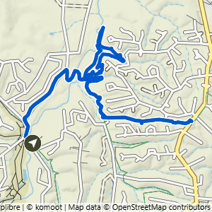
Scotsdale to Technical Difficulty & Tunnel Vision
5.8 mi · 400 ft gain · 69 ft/mi · Lollipop
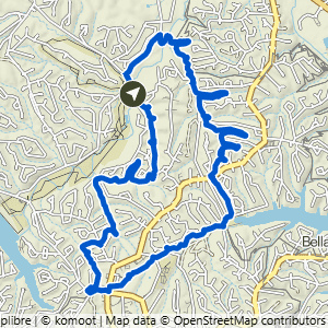
Scotsdale to Modelo Loop
9.4 mi · 750 ft gain · 80 ft/mi · Loop