How to start hiking in Northwest Arkansas.
Little Sugar · Bella Vista
Kingsdale to Tavistock Loop
Moderate
The route
This route is part of the Little Sugar trail system. Open the full turn-by-turn map, elevation profile, and offline download in Komoot.


Where to park
Kingsdale Trailhead
Address
Bella Vista Recreation Center, 3 Riordan Dr, Bella Vista, AR 72715Google code is FQ32+96F Bella Vista, AR
Open trailhead in Google MapsParking Area
large, paved
Amenities
full restrooms, but may be locked after hours
What to expect
Moderate routes like this one include natural-surface trails that are often about 2 feet wide. The trails can have moderate slopes/inclines, with some sections being quite steep. Obstacles may include rocks and roots up to about 8 inches high, so hikers should have good stability.
More routes from this trailhead
7 other routes start from Kingsdale Trailhead.

Kingsdale Loop North
2.3 mi · 175 ft gain · 76 ft/mi · Loop · Bella Vista

Kingsdale to Danger Will Robinson
3.48 mi · 250 ft gain · 72 ft/mi · Loop · Bella Vista
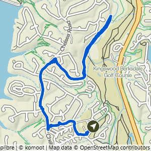
Kingsdale to Danger Will Robinson Lollipop
4.28 mi · 350 ft gain · 82 ft/mi · Lollipop · Bella Vista

Kingsdale to Danger Will Robinson & Sugar Vision
4.44 mi · 300 ft gain · 68 ft/mi · Lollipop · Bella Vista

Kingsdale Loop South
6.18 mi · 600 ft gain · 97 ft/mi · Loop · Bella Vista
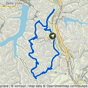
Kingsdale to Danger Will Robinson Loop
7.76 mi · 675 ft gain · 87 ft/mi · Loop · Bella Vista