How to start hiking in Northwest Arkansas.
Route
Little Sugar · Bella Vista
Play Thru Loop
Moderate
The route
- Trail system
- Little Sugar
- Trailhead
- Play Thru Trailhead
- Distance
- 3.14 miles
- Elevation gain
- 275 feet (88 feet per mile)
- Shape
- Loop. You finish where you started without retracing your steps.
- Surface
- Natural surface the whole way
- Difficulty
- Moderate. A route is rated by its most difficult section. This route may include natural-surface trails that are often about 2 feet wide. The trails can have moderate slopes/inclines, with some sections being quite steep. Obstacles may include rocks and roots up to about 8 inches high, so hikers should have good stability. See examples of moderate trails

Start hiking
Navigate with Komoot
Prefer a different app?
Komoot shows the turn-by-turn route, the elevation profile, and your spot on the trail. A free account is all you need, and you can download the route to use without cell service. New to Komoot? See how it works.
- Open the route in Komoot.
- Tap the three dots at the top right, then Download GPX file.
- Open the file in your favorite hiking app, like Trailforks, AllTrails, Gaia GPS, or Garmin Connect.
Where to park
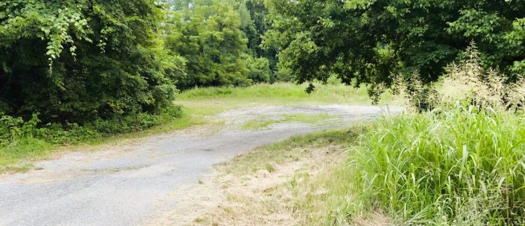
Where to park
Play Thru Trailhead
Address
northwest side of Lancashire, just south of Tanyard CreekGoogle code is FPCP+9GG Bella Vista, AR
Open trailhead in Google MapsParking Area
Medium-size gravel
Amenities
No restroom facilities
Trails You’ll Hike
Tap a trail to see a photo preview of the whole trail.

Play Thru to Lake Avalon Vista
2.4 mi · 350 ft gain · 146 ft/mi · Out & Back · Bella Vista
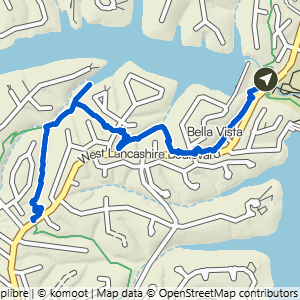
Play Thru to Uphill Both Ways
3.42 mi · 375 ft gain · 110 ft/mi · Out & Back · Bella Vista

Play Thru to Mace Lane
3.7 mi · 350 ft gain · 95 ft/mi · Out & Back · Bella Vista


Play Thru Loop to Cooper Rood
5.44 mi · 475 ft gain · 87 ft/mi · Lollipop · Bella Vista

Play Thru to Tanyard Lollipop
5.8 mi · 550 ft gain · 95 ft/mi · Lollipop · Bella Vista