How to start hiking in Northwest Arkansas.
Route
Little Sugar · Bella Vista
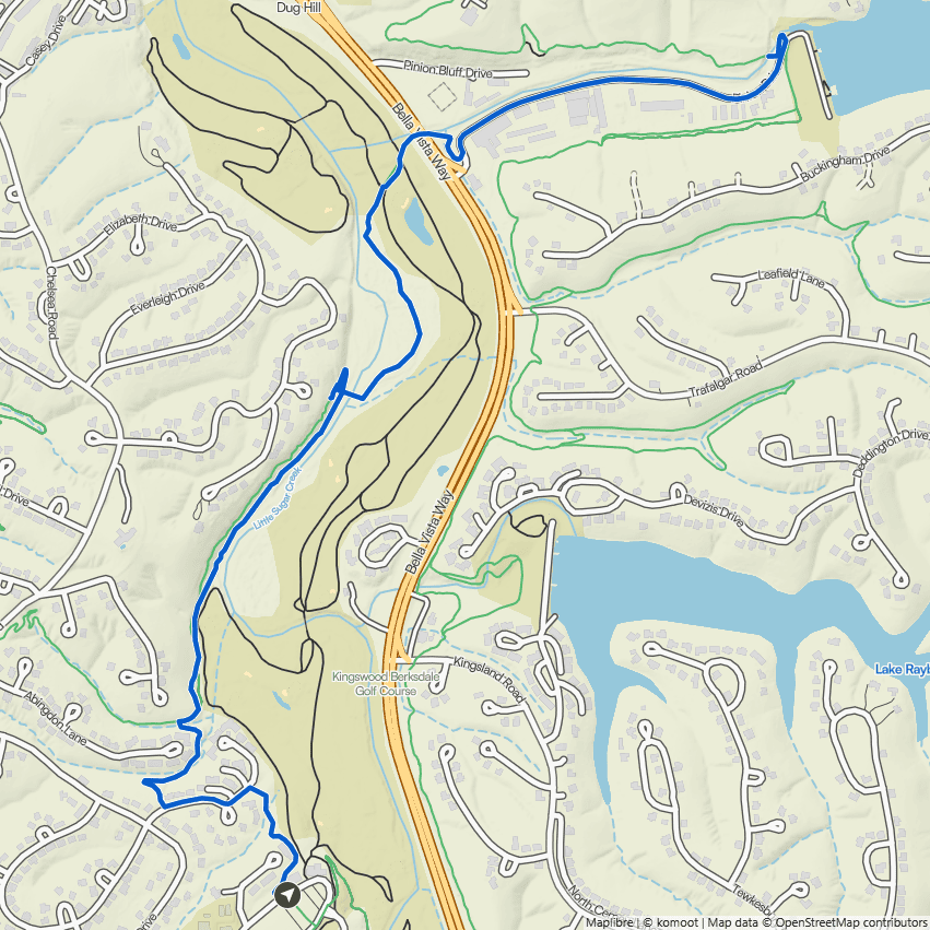
Kingswood to Pinion Creek Falls
Moderate
The hardest parts of this route are seven Moderate sections, 1.3 mi in all.
A section is the stretch of trail between two junctions. Each section is rated by its hardest spot, so a Challenging section may be mostly easy walking with only a few feet of steep or rocky ground.
Point to a color in the bar, or tap it, to see its sections on the trail map.
The route
- Trail system
- Little Sugar
- Trailhead
- Kingswood Trailhead
- Distance
- 4.76 miles
- Elevation gain
- 175 feet (37 feet per mile)
- Shape
- Out and back. You turn around at the far end and return the same way.
- Surface
- Mostly natural surface, with some mixed surface sections
- Difficulty
- Moderate. A route is rated by its most difficult section. Routes marked MODERATE have at least one section where the trail gets narrower, the edge drops off to one side, or a rock or root now and then means stepping over it. You can still find flat footing for most steps, but you'll want to keep an eye on the trail ahead. See examples of moderate trails
Start hiking
Navigate with Komoot
Prefer a different app?
Komoot shows the turn-by-turn route, the elevation profile, and your spot on the trail. A free account is all you need, and you can download the route to use without cell service. New to Komoot? See how it works.
- Open the route in Komoot.
- Tap the three dots at the top right, then Download GPX file.
- Open the file in your favorite hiking app, like Trailforks, AllTrails, Gaia GPS, or Garmin Connect.
Where to park

Where to park
Kingswood Trailhead
Address
Kingswood Golf Course, 4 Kingsdale Ln, Bella Vista, AR 72715Google code is FQ43+546 Bella Vista, AR
Open trailhead in Google MapsParking Area
large, paved
Amenities
full restrooms in the building/restaurant, but accessible only during business hours
Trails You’ll Hike
Tap a trail to see a photo preview of the whole trail.
 ModerateKingswood to Riordon Tunnel1.77 mi · 75 ft gain · 42 ft/mi · Out & Back
 ChallengingKingswood to Danger Will Robinson2.35 mi · 125 ft gain · 53 ft/mi · Lollipop
 ModerateKingswood to Sugar Bridge2.43 mi · 125 ft gain · 51 ft/mi · Out & Back
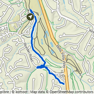 ModerateKingswood to Sugar Vision & Snacks2.75 mi · 125 ft gain · 45 ft/mi · Out & Back
 ModerateKingswood to Sugar Vision & Tavistock Loop3.54 mi · 275 ft gain · 78 ft/mi · Lollipop