How to start hiking in Northwest Arkansas.
Route
Slaughter Pen + Park Springs · Bentonville
Hidden Springs to Black Limousin, Angus Chute, Urban Trail & Razorback Ridge
Challenging
The route
This route includes about .4 miles of paved Greenway.
- Trail system
- Slaughter Pen + Park Springs
- Trailhead
- Hidden Springs
- Distance
- 3.95 miles
- Elevation gain
- 250 feet (63 feet per mile)
- Shape
- Lollipop. You hike out, go around a loop, then return the way you came. (A more complicated lollipop can mix several loops and out-and-backs.)
- Surface
- Mostly paved, with some natural surface sections
- Difficulty
- Challenging. A route is rated by its most difficult section. This route may include natural-surface trails that are often only 1 foot wide (or narrower) and have steep slopes with significant climbs and descents (15% grade or more). Frequent obstacles may include rocks and roots 15 inches high or taller. Hikers must have excellent stability. See examples of challenging trails

Start hiking
Navigate with Komoot
Prefer a different app?
Komoot shows the turn-by-turn route, the elevation profile, and your spot on the trail. A free account is all you need, and you can download the route to use without cell service. New to Komoot? See how it works.
- Open the route in Komoot.
- Tap the three dots at the top right, then Download GPX file.
- Open the file in your favorite hiking app, like Trailforks, AllTrails, Gaia GPS, or Garmin Connect.
Where to park

Where to park
Hidden Springs
Address
Parking lot east of Hidden Springs Dialysis Center, 3000 NW A St, Bentonville, AR 72712Google code is CQ5P+5C2 Bentonville, AR
Open trailhead in Google MapsParking Area
large, paved
Amenities
no restroom facilities; full restrooms within walking distance south near the Bark Park
Trails You’ll Hike
- North Bentonville Trail
- Razorback Greenway
- All-American
- Upper Angus Chute
- Black Limousin
- Angus Chute
- Razorback Ridge
- Berm Creek Return
Tap a trail to see a photo preview of the whole trail.

Hidden Springs to All-American
1.81 mi · 50 ft gain · 28 ft/mi · Loop · Bentonville
This route includes about 1.4 miles of paved Greenway.

Hidden Springs to Armadillo, Jessie's Climb, Medusa & Tatamagouche
2.2 mi · 175 ft gain · 80 ft/mi · Loop · Bentonville
This route includes about .3 miles of paved Greenway.

Hidden Springs to Tatamagouche & Medusa
2.86 mi · 225 ft gain · 79 ft/mi · Loop · Bentonville
This route includes about .4 miles of paved Greenway.
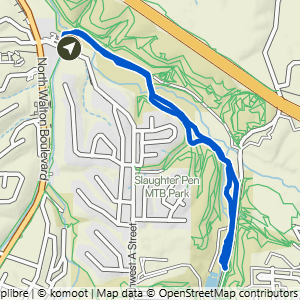
Hidden Springs to All-American & Greenway
2.99 mi · 100 ft gain · 33 ft/mi · Loop · Bentonville
This route includes about 1.75 miles of paved Greenway.
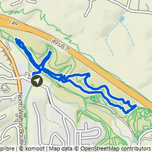
Hidden Springs to Armadillo's Last Stand+
2.99 mi · 200 ft gain · 67 ft/mi · Loop · Bentonville
This route includes about .3 miles of paved Greenway.

Hidden Springs to Bentonville Braum's
3.39 mi · 200 ft gain · 59 ft/mi · Out & Back · Bentonville