How to start hiking in Northwest Arkansas.
Find a Hiking Route
Click LOAD ROUTES to see every route in the library—or use the filters to narrow things down more.

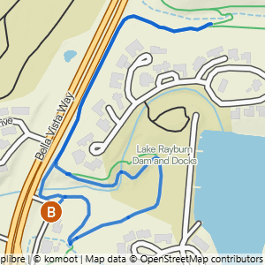
7 routes
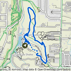
Crystal Bridges to Forest Trail
1.68 mi · 100 ft gain · 60 ft/mi · Loop
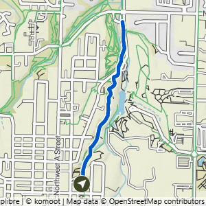
Compton Gardens to Cub Circle
1.96 mi · 200 ft gain · 102 ft/mi · Out & Back

Compton Gardens to Greenway & Crystal Bridges
2.44 mi · 250 ft gain · 102 ft/mi · Lollipop
This route includes several sections of stair steps.

Crystal Bridges to Tulip Tree & Compton
2.62 mi · 150 ft gain · 57 ft/mi · Lollipop
There are a lot of stair and stone steps on this route.

Northeast A St to Crystal Bridges Loop
2.68 mi · 200 ft gain · 75 ft/mi · Loop

Northeast A St to Compton Gardens & Crystal Bridges
2.99 mi · 225 ft gain · 75 ft/mi · Lollipop

Crystal Bridges to Compton, Greenway & Forest Trail
3.9 mi · 250 ft gain · 64 ft/mi · Lollipop
There are a lot of stairs and stone steps on this route.