How to start hiking in Northwest Arkansas.
Find a Hiking Route
Click LOAD ROUTES to see every route in the library—or use the filters to narrow things down more.

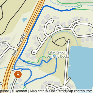
16 routes

Handcut Hollow @ J St to Short Traverse Loop
1.91 mi · 175 ft gain · 92 ft/mi · Loop

Handcut Hollow @ the Schoolhouse to Sufferin' & Zones
2.57 mi · 375 ft gain · 146 ft/mi · Loop

Handcut Hollow @ the Schoolhouse to Traverse, Checks & Mother Necessity
3.7 mi · 250 ft gain · 68 ft/mi · Loop

Handcut Hollow @ the Schoolhouse to Sufferin', Traverse, Checks & Mother Necessity
4.02 mi · 350 ft gain · 87 ft/mi · Loop

Handcut Hollow @ the Schoolhouse to Sufferin', Traverse Advanced, Checks & Mother Necessity
4.14 mi · 325 ft gain · 79 ft/mi · Loop

Handcut Hollow @ J St. to Zones, Sufferin', Checks & Traverse
4.36 mi · 300 ft gain · 69 ft/mi · Loop

Handcut @ the Schoolhouse to Sufferin', Zones, Traverse & Mother
4.69 mi · 375 ft gain · 80 ft/mi · Loop

Handcut Hollow @ the Schoolhouse to Mother Necessity, Zones & Traverse Advanced
4.71 mi · 425 ft gain · 90 ft/mi · Loop

Handcut Hollow @ Grammercy to Dark Holler & Traverse
4.72 mi · 275 ft gain · 58 ft/mi · Loop
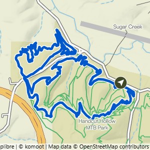
Handcut Hollow @ the Schoolhouse to Mother Necessity, Checks & Traverse Advanced
4.92 mi · 375 ft gain · 76 ft/mi · Loop

Handcut Hollow @ J St. to Traverse, Up the Zones & Suffering
5.1 mi · 475 ft gain · 93 ft/mi · Loop

Handcut Hollow @ Grammercy to Dark Holler, Traverse & Mother
5.78 mi · 425 ft gain · 74 ft/mi · Loop

Handcut @ Grammercy to Traverse, Checks & Advanced Traverse
6.25 mi · 400 ft gain · 64 ft/mi · Lollipop

Handcut Hollow @ the Schoolhouse to Mother Necessity, Checks, Traverse Advanced & Sufferin'
6.4 mi · 500 ft gain · 78 ft/mi · Loop

Handcut Hollow @ J St. to Advanced Traverse & Zones+
6.9 mi · 525 ft gain · 76 ft/mi · Loop

Handcut @ J St to Advanced Traverse Loop
8.16 mi · 550 ft gain · 67 ft/mi · Loop